Queensland Plan Would Allow Limited Floodwater Harvesting in the Lake Eyre Basin
Queensland’s draft water plan would make some floodwater in the Georgina and Diamantina catchments available for farming and public amenities. The proposal could support fodder production through dry periods, but the plan’s lack of flow modelling leaves producers downstream unsure how much water might be diverted from the rivers and wetlands they depend on.
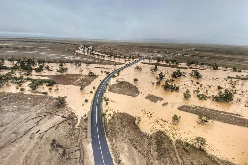
The catchments are dry for much of the year. During the wet season, monsoonal rain can send floodwater through the Channel Country and onward to Kati Thanda-Lake Eyre in South Australia. That irregular flow sustains grass growth and fills waterholes far beyond the places where rain first falls.
Near the Diamantina’s headwaters, about 100 kilometres north-west of Winton, cattle producer David Batt has seen the river run every year since arriving at Nuken Station in 1984. In a large wet season, he said, “there’s a mountain of water coming down.”
A proposed allowance for floodwater
The existing water plan expires in 2027. It lets landholders collect overland flow without a licence for domestic and livestock needs. Under the draft replacement, Queensland would allow access to as much as 1,000 megalitres — one billion litres — for purposes including drought-proofing fodder crops, supporting organic livestock supply chains and supplying public amenities, said Chris Wake, an executive with the Queensland Department of Water.
Wake described the proposal as a way to make overland water easier to access below a set limit. The draft would also increase unallocated water by 13,500 megalitres, bringing the total to 27,000 megalitres.
Some producers see a practical use for stored floodwater. In north-west Queensland, growers are exploring dryland irrigation for sorghum and hay that can be stored underground as cattle feed through drought. Batt said a similar approach could work in his region, though smaller floods would need protection from excessive extraction. “They’ve made (cropping) work up around Maxwellton on the Flinders River, so I can’t see why it won’t work here,” he said.
Downstream producers want safeguards
At the lower end of the basin, organic cattle producer Janet Brook is concerned that upstream diversions could reduce the water reaching her property near the Queensland–South Australia border. Her operation relies on monsoonal flows, even when local rainfall is scarce. A heavy downpour in the upper catchment can make the difference between grass growth downstream and none at all.
Brook supplies Birdsville-based beef producer and exporter OBE Organics. She said the draft didn’t explain how regulators would account for the combined effects of multiple water takes. “There’s no mechanism within the plan that I can see dealing with the cumulative effect of take,” she said, asking whether the basin could face “death by a thousand cuts.”
Even modest changes to the terrain can alter how water travels across the floodplains, Brook said. A grader or raised road can affect natural flows, making the scale and placement of any new harvesting important to downstream graziers.
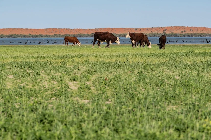
Brook also questioned why the plan sets aside water specifically for organic producers’ processing needs. Beef production, she said, uses water whether a producer is organic or conventional.
Flow data remains a gap
David Phelps, chief executive of Desert Channels Queensland, said the plan doesn’t show how much water could be harvested or what controls would apply. The organisation supports graziers and communities managing land across the Diamantina-Georgina catchment.
A Queensland Department of Water environmental assessment published in June 2026 identified substantial information gaps: modelled flow data for the catchment was “not available,” the total volume of water was unknown, and the effects on wetlands were not well understood.
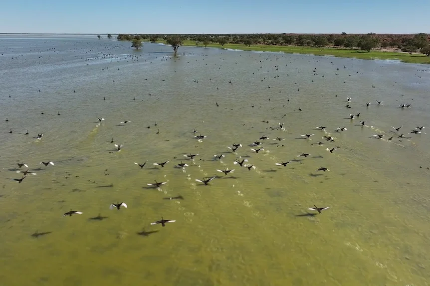
Queensland Water Minister Ann Leahy said modelling overland flows is difficult because it requires many measurement points. The government would consider further analysis and is seeking information from residents, landholders, Traditional Owners and councils.
Consultation on the draft plan closes on December 16. The scale of any future water harvesting will hinge on whether that process clarifies how extraction limits can protect the downstream flows that keep the basin’s floodplains productive.